Tools
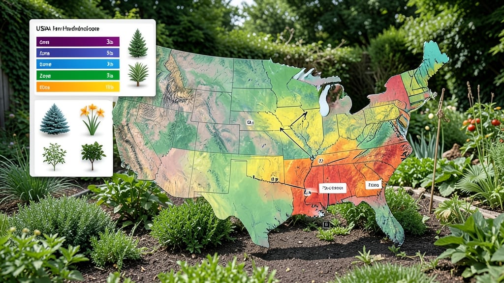
To determine your gardening zones by zip, use the USDA Plant Hardiness Zone Map to find your base zone, then account for local factors like shade, elevation, or urban heat that can shift your effective growing range. The official USDA website lets you input your ZIP code for precise zone details and plant recommendations.
Your USDA Plant Hardiness Zone determines which plants thrive in your area based on average winter lows.
For example, a ZIP code might fall in Zone 7b, but if your yard sits in a sheltered valley, you could effectively garden in Zone 8. 🌱 I always recommend cross-referencing the USDA map with local weather patterns—some cities experience microclimates where sidewalks are hotter than nearby parks by up to 5°F.
Tools like sun exposure calculators or historical frost date maps help refine these adjustments for optimal planting success.
Once you’ve identified your base zone, the next step is testing your microclimate. Plant a tender perennial like coleus or geraniums—if they survive winters, your zone is likely one step warmer than the USDA map suggests.
Conversely, if they fail, you may need to choose hardier varieties. This hands-on approach ensures your garden thrives beyond just the ZIP code data.
💡 In This Article
- Understanding USDA Plant Hardiness Zones and Their Impact on Plant Selection
- Adjusting for Microclimates: How Local Conditions Modify Your Zone
Understanding USDA plant hardiness zones and their impact on plant selection
The USDA Plant Hardiness Zone Map divides North America into 13 zones, each representing a 10°F range of average annual minimum temperatures. For example, Zone 5 experiences -20°F to -10°F winters, while Zone 9 stays above 20°F.
These zones predict which plants can survive winter cold—critical for perennials and woody plants like shrubs or trees. 🌿 A Zone 6 maple tree won’t survive a -15°F winter in Zone 5, but a Zone 5 rose might thrive in Zone 6’s milder winters.
Zones also influence growing seasons. A Zone 8 location (like Miami) enjoys 300+ frost-free days, while Zone 4 (like Minneapolis) sees only 120-150 days.
This affects planting timing—cool-season crops like lettuce can grow year-round in Zone 9, but Zone 5 gardeners must start them indoors by March 1st to avoid frost. The USDA map doesn’t account for last-spring frosts, which can still damage tender plants in May.
Plant survival depends on more than just winter lows. The map’s 10°F increments mask local variability—two ZIP codes just 5 miles apart might differ by one full zone due to elevation or urban heat.
For instance, Denver’s downtown (Zone 6) sits 5,280 ft above sea level, while nearby foothills drop to Zone 7. Always verify your zone using the USDA’s interactive tool, which plots your exact latitude/longitude.
Bloom times also shift by zone. A Zone 7 peony blooms 2-3 weeks earlier than its Zone 5 counterpart, thanks to warmer springs. This timing affects pollinators—bees rely on synchronized blooms, so planting zone-appropriate perennials ensures year-round nectar.
The USDA’s Interactive Map lets you hover over your ZIP to see exact 10-year average lows, helping you pick plants with ±5°F flexibility.
For container gardening, zones matter less—potted plants can be moved indoors during cold snaps. But permanent beds require precise zone matching. A Zone 6 hydrangea might survive a -10°F dip if mulched heavily, but a Zone 5 winter (-20°F) will kill it without protection.
Always check a plant’s hardiness range (e.g., Zones 4-8) to ensure it fits your microclimate.
Pro tip: Use the USDA’s Zone Finder to compare your ZIP with nearby areas. For example, a Zone 7 city might have Zone 6 pockets in shaded valleys or Zone 8 heat islands near pavement. Adjust your plant choices accordingly—this precision prevents costly mistakes. 🌱