Tools
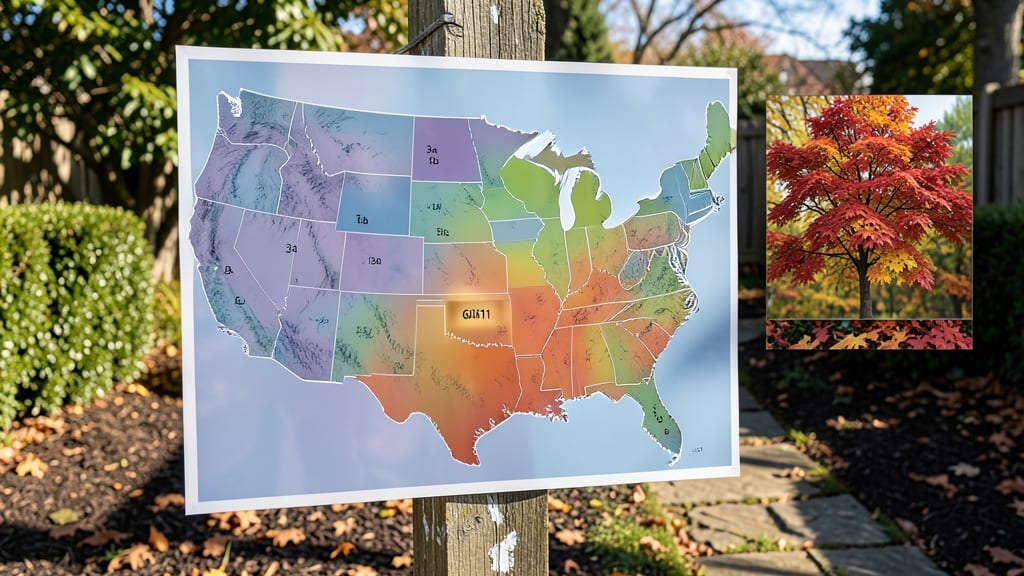
Using your zip code to find your garden zone map shows the USDA Plant Hardiness Zone, which predicts winter survival for plants in your area. Simply input your zip code on the official USDA website or through tools like the Plant Hardiness Zone Map to uncover your exact zone and potential microclimate variations.
This zone system is based on the coldest average winter temperatures your area experiences, helping you select plants that thrive in your climate. 🌱 For example, Zone 5 can handle down to -20°F, while Zone 9 rarely drops below 20°F.
Microclimates—like sunny south-facing walls or sheltered valleys—can even shift your effective zone by one or two levels, allowing you to grow plants that wouldn't normally survive in your official zone.
Beyond the official map, tools like the USDA Interactive Map or apps such as Gardenate provide instant results with just your zip code. These platforms also highlight microclimate factors, giving you a more precise picture of what your garden can handle.
I always recommend cross-checking with local nursery advice, as their firsthand experience can reveal nuances the map might miss.
💡 In This Article
- What USDA Plant Hardiness Zones Mean for Your Garden
- Best Free Tools to Locate Your Garden Zone by Zip Code
What USDA plant hardiness zones mean for your garden
The USDA Plant Hardiness Zone system divides North America into 13 zones (1-13) based on the average annual minimum winter temperatures recorded over a 30-year period. Each zone represents a 10°F range—Zone 5, for example, experiences temperatures between -20°F and -10°F, while Zone 9 stays above 20°F.
These zones act as a survival guide for plants, telling you which species can endure your coldest winters without dying back.
Here's how it works: The USDA collects temperature data from thousands of weather stations across the country and calculates the lowest average temperature for each area. This isn't about summer heat or rainfall—it's purely about winter cold tolerance.
For instance, a Zone 6 plant like peonies can survive -10°F winters, while a Zone 10 citrus tree needs protection below 30°F. The system helps you avoid costly mistakes like planting tropical hibiscus in Minnesota or freezing-sensitive roses in Arizona. 🌡️
Microclimates add another layer of complexity. Even within a single zip code, your garden might experience variations due to factors like elevation, proximity to water, or urban heat islands.
A north-facing slope might be 1-2 zones colder than the official map suggests, while a south-facing wall could be 1 zone warmer.
For example, a Zone 7 city like Washington, D.C., might have pockets where Zone 8 plants thrive near the Potomac River, while higher elevations could drop into Zone 6 territory.
Why does this matter? Plants have evolved to survive specific temperature ranges, and pushing them beyond their limits stresses their systems. A Zone 5 tomato plant might survive a -10°F winter but will struggle to produce fruit the following year.
Conversely, a Zone 9 olive tree planted in Zone 7 could suffer frost damage during unexpected cold snaps. The zone system gives you a baseline, but local observations and adjustments are key to successful gardening.
Consider this real-world example: In Zone 6 Philadelphia, gardeners often plant Zone 5 perennials like coneflowers with confidence, but they might add extra mulch for Zone 7 roses near the city's heat islands.
The same zip code can yield different microclimates—understanding these nuances helps you create a resilient, thriving garden that works with your local conditions rather than against them. 🌿
For precise planning, I recommend overlaying your zone map with a microclimate analysis. Note where cold air pools (like low-lying areas), where heat collects (like blacktop or brick walls), and how wind patterns affect your space.
These observations can help you adjust your planting zones by half or even full levels, giving you more flexibility in what you can grow successfully.